Recommended reading: Want to back up and learn how we launch new Via services? Read "Launching an on-demand transit network in six weeks." Want to dig in and learn how ViaAlgo aggregates trips heading in the same direction? Read "ViaAlgo's Routing Engine."
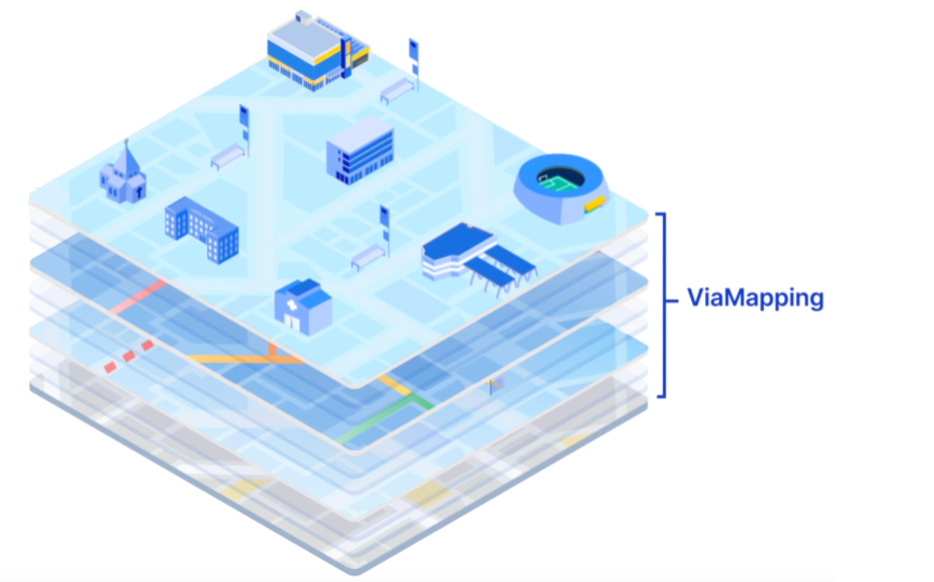
When it comes to TransitTech, we hear a lot about algorithms: for trip planning, for vehicle dispatch, for passenger aggregation, for transit scheduling. We even wrote a series of blog posts about our own beloved ViaAlgo , who powers every routing and dispatch decision that happens in our on-demand and paratransit services. But as important as transit algorithms are for making services convenient and efficient, we often overlook a key component that helps these algos work their best: accurate maps optimized for transit use. In ViaAlgo’s case, she gets all the necessary information about the physical environment of the service zone — how fast vehicles can go, what turns they can make, where they can stop — from a customized ViaMapping layer, which helps her determine the best routes and trip assignments.
We sometimes take maps for granted because they seem ubiquitous: wherever you want to go, you can generally pull up Google Maps and chart a course. But what works for the general public doesn’t necessarily work for public transit. Just because a road or street corner exists, it doesn’t mean that a transit vehicle should take that road or drop a passenger off at that corner. Maybe your vehicles aren’t allowed to make left turns; or maybe there isn’t a safe place to pull over and drop off passengers at a particular intersection.
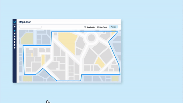
When Via launches a service, our mapping team carefully augments a base map — pulled from Open Street Maps — to reflect our new partner’s goals and priorities, as well as their firsthand experience of their community’s transit environment. Via’s base technology is the same across hundreds of partners, but ViaMapping layers help make every service unique by encoding local knowledge right into the software. Service runs smoothly and efficiently, and riders, drivers, and transit staff feel ownership over something customized for their needs.
Here are just a few examples of how ViaMapping enables more efficient, timely, and responsive transit services.
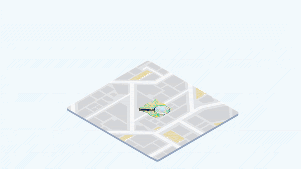
Points of interest.
Via adds a layer of partner-designated points of interest (POIs) to help riders identify potential use cases for the on-demand service:
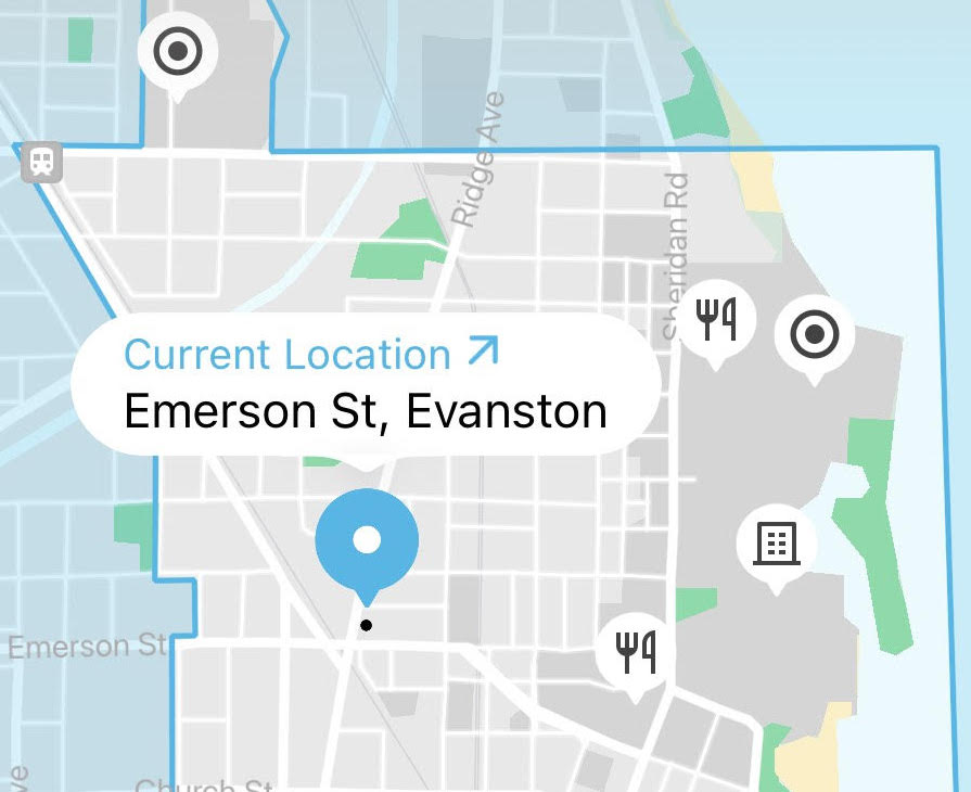
- If a transit agency chooses to highlight fixed-route public transit stops, they encourage riders to use the service for first- and last-mile connections.
- If city leadership chooses to highlight vaccination sites or polling places, they encourage riders to access vital community services.
- And regardless of the use cases highlighted, POIs encourage riders to travel to and from similar locations, increasing overall service efficiency.
Impact: Both demand and vehicle productivity increase, as passengers discover new ways to use the service and self-aggregate by requesting trips between a set number of POIs.
Custom speeds.
It’s essential for accurate routing that ViaAlgo knows how quickly a vehicle can be expected to travel on a given road. Our systems can (and do) query historical and real-time data from existing third-party sources.
But the most accurate predictor of travel times is actual service data from a transit provider’s actual vehicles. ViaMapping quickly learns how long it takes your minivans, cutaways, or 40-foot buses to traverse your road network throughout the day — usually at very different speeds from one another, not to mention the average passenger car.
Impact: Vehicles arrive when they’re supposed to — estimated pickup and dropoff times are more accurate — and passengers can plan time-sensitive trips, like to a doctor’s appointment or a commuter rail station, with confidence.
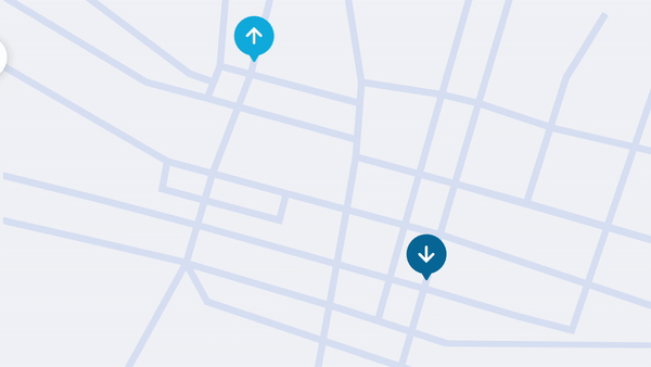
Roadblocks and no-go areas.
Transit vehicles have different needs than personal vehicles, and sometimes will be unable to use all the same roads or curbs:
- Large vehicles may be unable to use an underpass, or make a left turn.
- A particular section of curb may be unsuitable for pickups and drop-offs.
- A road may be closed temporarily for a parade or other event.
Via’s roadblock layer helps ViaAlgo avoid these areas when designing routes.
Impact: Riders and drivers are confident that their in-app instructions will guide them safely to pickup and drop-off points. Service timeliness is also maintained as riders and drivers never have to improvise directions or stopping locations.
Driver waiting areas.
ViaAlgo keeps drivers busy with trip assignments, but in a period of lower demand — or when it’s time to take a break — routing drivers to optimized waiting locations is critical to maintaining high service quality.
ViaMapping includes a custom data layer that identifies:
- Safe locations for drivers to take breaks, with ample parking, bathrooms, and coffee available.
- Safe locations for drivers to await incoming trip assignments. We use past service data to direct drivers to areas where demand is likely to be higher at a given time of day, and so that drivers are positioned to cover trip requests from all over the service zone.
- Drivers stay safe and can get their needs met throughout the day.
- Riders experience shorter average wait times, as vehicles are more likely to be waiting in areas of predicted high demand.
- Cities keep traffic moving and emissions low, as vehicles go right where they’re needed rather than prowl the streets looking for trip assignments.

.png?width=71&height=47&name=Sioux%20Falls%20Webinar%20(6).png)

