Skip to content

Custom mapping: the unexpected key to on-time paratransit service

Most software providers rely on open source maps to power paratransit routing. But forward-thinking agencies are embracing a different approach.

Olivia Blahut •

mapping-gif-1

TLDR; Via Paratransit augments standard maps (e.g., Open Street Maps) with a proprietary mapping layer customized for your service’s needs. This ensures routing accurately reflects the realities of paratransit service, leading to higher on-time performance, drivable routes, and reliable service.

Want to assess your potential paratransit software's mapping? Ask: 

  1. What mapping sources is your software based on? Is a custom map layer one of them?
  2. Is your mapping centralized across all parts of your software (Rider app, Operator app, dispatching tools, etc.)?
  3. To what extent can we (the agency or contracted operator) adjust the map to reflect our specific needs?

What does mapping have to do with paratransit? 

We hear a lot about scheduling and routing engines — powerful algorithms that automate paratransit scheduling to maximize efficiency and maintain compliance. But to do that, they need accurate real-world information like: how fast can vehicles go on this road? How does that vary by time of day? Day of week? And that information comes from maps. 

Why paratransit service requires custom mapping.

Many paratransit software providers base their maps on a source like Google Maps or Open Street Maps (OSM). That works great for everyday drivers, but it’s not sufficient for paratransit. Just because a road or street corner exists, it doesn’t mean that a cutaway van should take it. Maybe two-way traffic is prohibited in Google Maps, but it’s permitted for transit vehicles. Maybe you prefer to avoid side streets because snow piles up on them in the winter. 

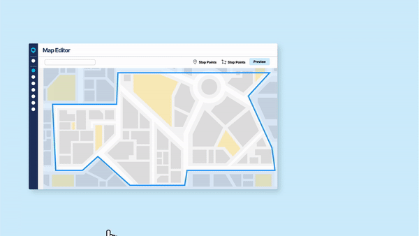
Creating accurate, drivable routes requires a mapping layer with agency-specific knowledge. That’s why we created ViaMapping. Via Paratransit augments standard maps (like OSM) with a proprietary mapping layer, customized for the unique needs and preferences of your paratransit service.  


How ViaMapping enables smooth, on-time operations.

Let’s make this concrete. Below are just a few examples of what custom mapping allows you to do:

  • Prohibit or enable bus turns to certain roads (e.g., public transit lanes, areas with construction), even if these preferences differ from Google Maps or OSM. 
  • Designate preferred operator break locations that are safe, near food and restrooms, and minimize deadhead.
  • Add Points of Interest to rider-facing maps, making it easy for riders to select common destinations, like Walmarts, medical centers, and grocery stores. 
  • Designate precise pickup and drop off points within complex locations, making it easy for drivers and riders to find each other (think: hospital).
  • Reflect custom road speeds that are not reflected in Google Maps, such as if your vehicles are allowed to travel in public transit lanes.

A custom mapping layer not only gives you control over the operation of your service, but also improves the accuracy of your routing.

Best of all, it gets better over time. ViaMapping learns from historical road speeds in your service, and uses that information to generate increasingly accurate predictions over time, allowing you to provide exceptional customer service that keeps improving. 


What does this mean for your service?

  • Agencies maintain compliance with accurate travel time predictions and higher OTP. 
  • Riders get on time service, every time. 
  • Drivers get drivable schedules and smooth routing that makes sense.

Olivia Blahut avatar
Olivia Blahut

Olivia Blahut is the Director of Product Marketing at Via.